Low Tide on the Souhegan

The headwaters of the Souhegan River are located in New Ipswich, NH. The River flows northwest through the town of Greenville for 33.8 miles before joining the Merrimack River in Nashua.
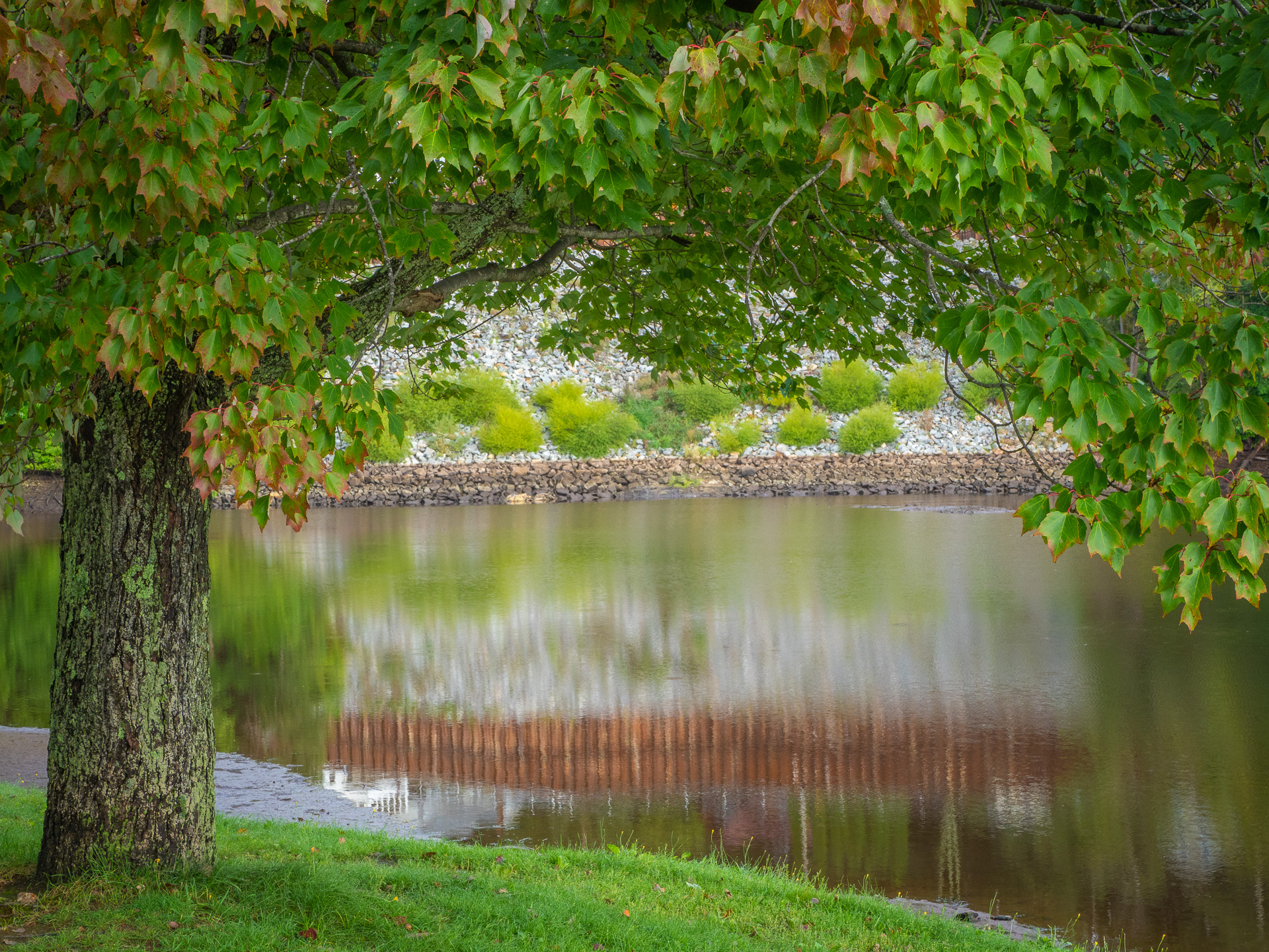
New Ipswich has several flood control dams which function to restrict flow during flooding conditions. Greenville has two dams located in the center of town. The upper dam is located near the American Legion is a popular spot for picnics and fishing.
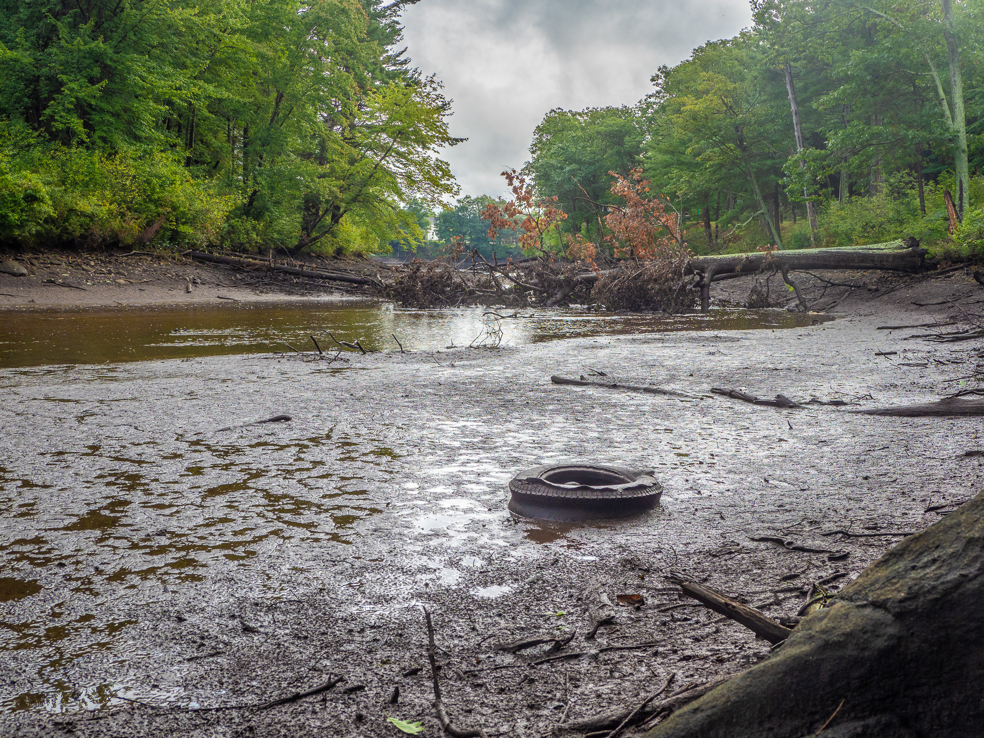
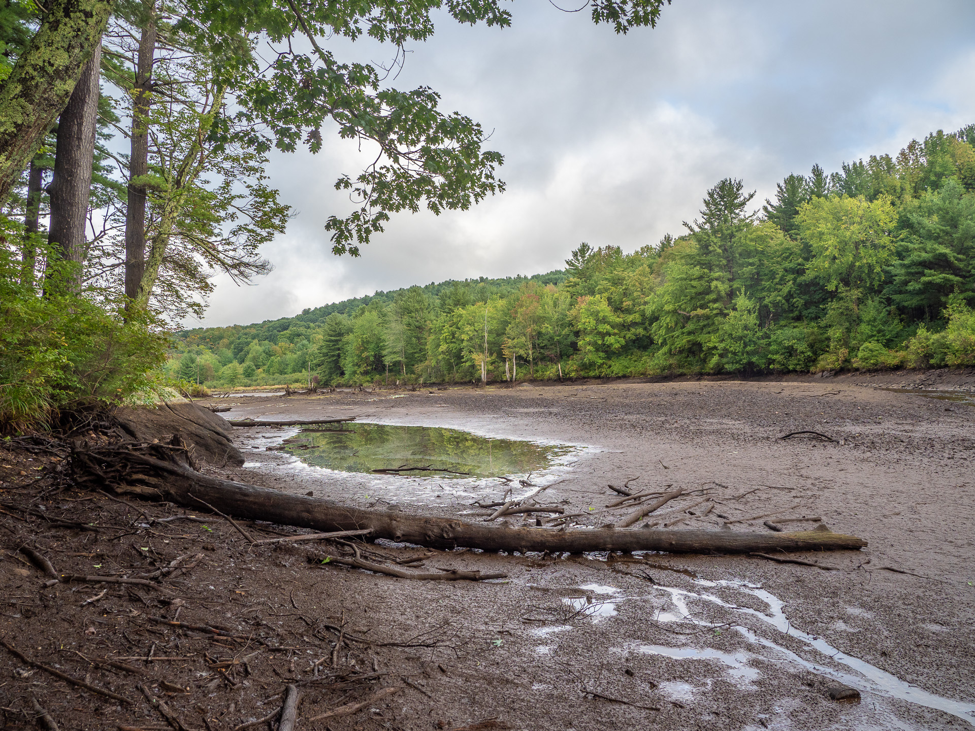
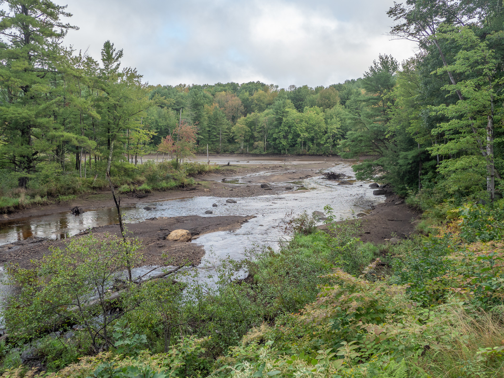
I noticed that that have opened the floodgates on the upper dam revealing the riverbed. This is being done as part of regular maintenance at Mill #1 .
Google provides a nice satellite view of the dam
[googlemaps https://www.google.com/maps/embed?pb=!1m18!1m12!1m3!1d839.0301500551514!2d-71.81636617076211!3d42.76767099869762!2m3!1f0!2f0!3f0!3m2!1i1024!2i768!4f13.1!3m3!1m2!1s0x0%3A0x0!2zNDLCsDQ2JzAzLjYiTiA3McKwNDgnNTcuMCJX!5e1!3m2!1sen!2sus!4v1536915551268&w=800&h=600]